RTK vs PPP: Which High-Precision GNSS Technology Fits Your Use Case?
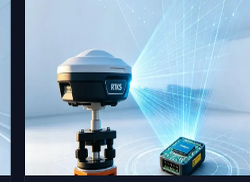
Both deliver centimeter-level positioning — but they solve different problems. Here is how to decide.
Two paths to centimeter accuracy
Standard GNSS is accurate to about 1.5 meters. Getting to centimeters requires removing the errors — ionosphere, troposphere, satellite clock and orbit — and there are two practical ways to do it: RTK (Real-Time Kinematic) and PPP (Precise Point Positioning).
How RTK works
RTK uses a nearby base station with a known position. The base broadcasts correction data, and the rover cancels common errors against it. Result: centimeter-level accuracy — but only within roughly 10–50 km of a base station, and you need a continuous correction link (NTRIP over cellular, or a local radio).
How PPP works
PPP computes corrections from global reference networks and broadcasts them via satellite or internet — no local base station needed. It works anywhere with a view of the sky, but historically took longer to converge and was less robust in urban areas. Modern services like PPP-RTK and PPP-B2b have closed much of that gap.
The comparison
| RTK | PPP | |
|---|---|---|
| Accuracy | 1 cm + 1 ppm | Sub-decimeter to centimeter |
| Base station | Required (local) | Not required |
| Coverage | ~10–50 km radius | Global |
| Convergence | Seconds | Seconds to minutes |
| Correction link | NTRIP / radio | Satellite / internet |
How to choose
- Precision agriculture & surveying → RTK: you already deploy a base or subscribe to an NTRIP network.
- Fleet/UAV in remote areas → PPP: no infrastructure to build, works globally.
- Best of both → a module that supports RTK and PPP (PPP-B2b/PPP-RTK), so the device can use local corrections when available and fall back to PPP elsewhere.
Our RTK modules (TAU951M-P2, TAU951M-K2) carry an internal RTK engine and support PPP-B2b/PPP/PPP-RTK on request — one part that covers both worlds. Explore the RTK series.
Applying This to Your Project?
Our engineers will match the right GNSS module to your power, accuracy and environment requirements — and support you from samples to production.
← How to Choose the Right GNSS Module for Your Tra… Integrating GNSS Modules with Dead Reckoning for… →